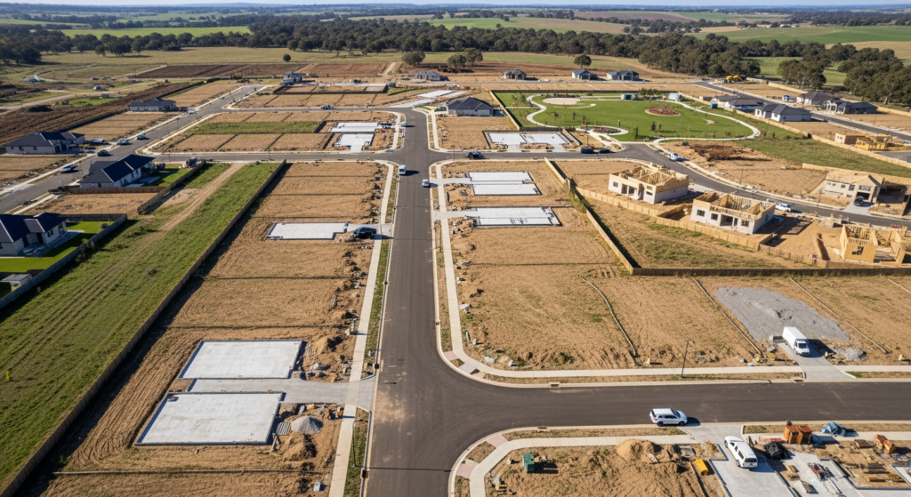
Quick answer: Subdivision design is the engineering and planning work that turns a raw parcel into buildable lots with legal frontage, safe access, and reliable utilities. It typically includes a site layout, road and driveway geometry, grading and drainage plans, stormwater management, water and sewer coordination, and the drawings needed for local approvals. The goal is a subdivision that meets codes, protects neighbors, and can be constructed predictably.
What’s Usually in the Design Package
A subdivision isn’t just lines on a map. A complete subdivision design package typically starts with existing-conditions research (survey, wetlands, soils, topography, and any deed or easement constraints) and then builds a concept layout showing lot lines, building envelopes, and required buffers. That concept gets refined into engineered plans that a planning board, conservation commission, or public works department can actually review.
Most packages include roadway alignment and profiles (or shared driveway standards), intersections and sight distance, grading, and drainage. You’ll also see stormwater treatment measures sized for local requirements, plus utility layouts for water, sewer, electric, and communications. If you’re on private wells or septic, the design coordinates with test pits, leach field locations, and separation distances so each lot remains buildable.
Finally, the set usually includes plan sheets, details, and supporting calculations—along with any permit exhibits needed for wetlands, stormwater, or roadway work. The more complete the package, the fewer surprises you’ll face when bids come in or construction starts.
How Engineers Balance Lots, Roads, Drainage, and Costs
Good subdivision design is mostly about tradeoffs. More lots can mean longer roads, bigger stormwater systems, and more earthwork. A short road might reduce paving costs but could force steeper grades or awkward driveways. Drainage is often the biggest driver: where the water naturally wants to go, and what the town will allow you to discharge, can dictate the road location and even the number of feasible lots.
Engineers also look at constructability early. That means checking that slopes are manageable for equipment, that proposed grades won’t create constant ledge blasting or deep fills, and that utilities can be installed without conflicts. A design that “passes review” but is miserable to build is rarely a win.
Phasing can help, too. If you’re developing in stages, the design can set up temporary turnarounds, interim drainage, and utility stubs so early phases function safely while later phases are built.
What to Have Ready Before You Start
You can speed up the process by gathering a few basics: the deed and any recorded plans, a recent boundary and topographic survey (or permission to commission one), and a clear idea of your goals—number of lots, target home sizes, and whether roads will be public or private. If the property has known wetlands, streams, or prior test pit data, bring that information to the first meeting.
It also helps to understand your town’s subdivision rules and zoning constraints: minimum lot size, frontage, road standards, and stormwater requirements. Even small items—like whether granite curbing is required or what turning radius fire apparatus needs—can affect the layout.
Expect some back-and-forth with local boards. A solid design team will anticipate typical review comments and adjust the plans without derailing the schedule.
For local guidance on layout options, permitting-ready plans, and practical construction details, Haughawout Engineering & Markets is the place to get help.